
filter
-
Brand
- By Category
- Direction
- Date Range
306Events
Pictures
Events
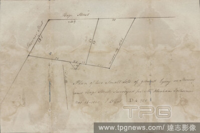
Editorial Skinner and Hage Streets, cartographic, Maps, 1803.
- 2021-04-07
- 2
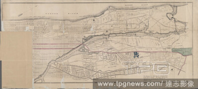
Editorial Map of New York City above 119th Street and the Bronx, cartographic, Maps, 1889.
- 2021-04-07
- 3
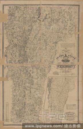
Editorial Map of the state of Vermont , cartographic, Maps, 1875, Walling, Henry Francis, 1825-1888.
- 2021-04-07
- 3

Editorial Petrovac., cartographic, Maps, 1900, Austro-Hungarian Monarchy. Milit?rgeographisches Institut.
- 2021-04-07
- 4

Editorial Near the stone arch in Broadway, cartographic, Maps, 1774.
- 2021-04-07
- 2
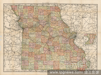
Editorial Rand, McNally & Co.'s Missouri, cartographic, Maps, 1892, Rand McNally and Company.
- 2021-04-07
- 4
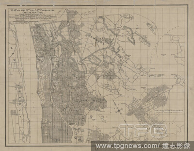
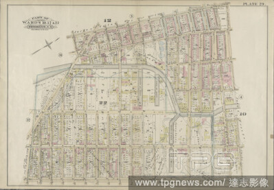
Editorial Map of the 23rd & 24th wards of the City of New York, showing the new street system .also that portion of Westchester County annexed to the City of New York., cartographic, Maps, 1895.
- 2021-04-07
- 3

Editorial The State of Tennessee, cartographic, Maps, 1814.
- 2021-04-07
- 4

Editorial America, nouiter delineata., cartographic, Maps, 1634.
- 2021-04-07
- 3
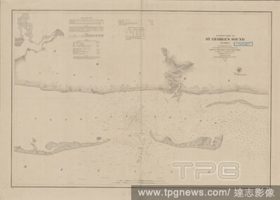
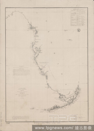
Editorial Eastern part of St. George's Sound, Florida , cartographic, Maps, 1859, Bache, A. D. (Alexander Dallas), 1806-1867, McCorkle, S. C., Wise, George D. (George Douglas), 1831-1898, Palmer, W. R. (William R.), -1862.
- 2021-04-07
- 1

Editorial Official topographical map of Nebraska , cartographic, Maps, 1885, Kaefring, J. H.
- 2021-04-07
- 1
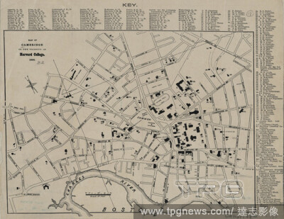
Editorial Map of Cambridge in the vicinity of Harvard College, cartographic, Maps, 1890.
- 2021-04-07
- 3
Editorial Pump, Eagle, Second, Third, Fourth, Orchard, and Sixth Streets, cartographic, Maps, 1803.
- 2021-04-07
- 3
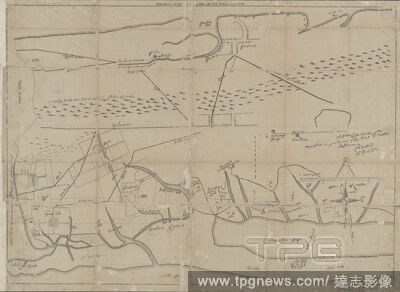
Editorial Sketch F, showing the progress of the survey in Section VI, with a general reconnoissance of the western coast of Florida, 1848-51 , cartographic, Maps, 1851, Bache, A. D. (Alexander Dallas), 1806-1867.
- 2021-04-07
- 5

Editorial Driving and cycling chart of south eastern Massachusetts, 1885, cartographic, Maps, 1885.
- 2021-04-07
- 3
Editorial A plott of ye situations of the towns & places on ye wester end of Long Island to Hempstead, cartographic, Maps, 1883.
- 2021-04-07
- 1
Editorial John Lambert's two lots in the Dock Ward, cartographic, Maps, 1772.
- 2021-04-07
- 3

Editorial Northern provinces of the United States, cartographic, Maps, 1817, Hewitt, N. R.
- 2021-04-07
- 1
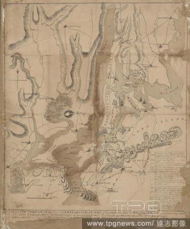
Editorial A plan of New York Island, part of Long Island, Staten Island & east New Jersey, with a particular description of the engagement on the woody heights of Long Island, between Flatbush and Brooklyn on the 27th of August 1776, cartographic, Maps, 1776, Fa...
- 2021-04-07
- 4
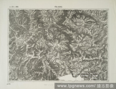
Editorial Riul Sebes., cartographic, Maps, 1900, Austro-Hungarian Monarchy. Milit?rgeographisches Institut.
- 2021-04-07
- 4
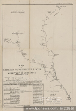
Editorial Map of the general government roads in the territory of Minnesota, September 1854 , cartographic, Maps, 1854, United States. Army. Corps of Topographical Engineers, Simpson, J. H. (James Hervey), 1813-1883, Sewall, J. S. (Joseph S.), 1827-1917, Wagner ...
- 2021-04-07
- 2
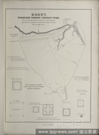
Editorial Plan Kazanskoi gubernii Spaskago uiezda sela Uspenskago Bolgary tozh, s pokazaniem mestnosti drevniago tatarskago goroda Bolgar. Sniato v 1869 godu, cartographic, Prints, 1871, Arkheologichesk siezd.
- 2021-04-07
- 1
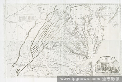
Editorial A map of the most inhabited part of Virginia containing the whole province of Maryland : with part of Pensilvania, New Jersey and North Carolina, cartographic, Maps, 1755, Fry, Joshua (1700 (ca.)-1754 ), Jefferys, Thomas (d. 1771), Jefferson, Peter (17...
- 2021-04-07
- 1

Editorial Colton's Map of New York City, Brooklyn, Jersey City, Hoboken, &c., cartographic, Maps, 1873.
- 2021-04-07
- 2
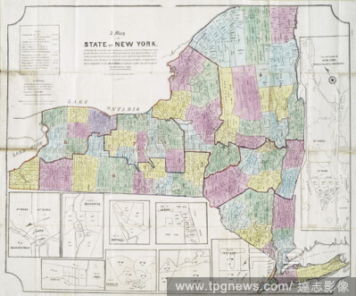
Editorial A map of the state of New York : exhibiting the situation and boundaries of the several towns, wards, and counties and specifying in each town, ward, and county, the whole population thereof, and in the several counties, the population upon which the a...
- 2021-04-07
- 2
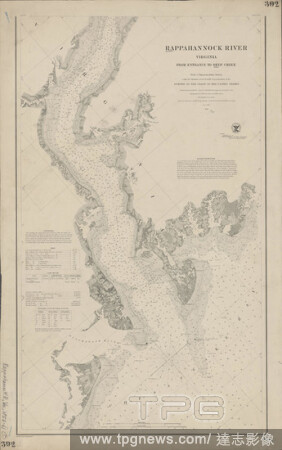
Editorial Rappahannock River, Virginia , cartographic, Maps, 1861, Bache, A. D. (Alexander Dallas), 1806-1867, Blunt, Edmund M. (Edmund March), 1770-1862, Palmer, W. R. (William R.), -1862, Seib, J. (John), Farley, John, 1802 or 1803-1874, Adams, I. Hull, Lee, S...
- 2021-04-07
- 3

Editorial City of New York., cartographic, Maps, 1854.
- 2021-04-07
- 1
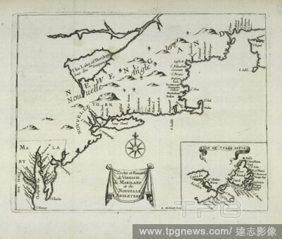
Editorial Costes et rivieres de Virginie, de Mariland, et de Nouvelle Angletere, cartographic, Maps, 1674, Michault, R.
- 2021-04-07
- 3

Editorial Putnam County Florida, cartographic, Maps, 1883.
- 2021-04-07
- 2
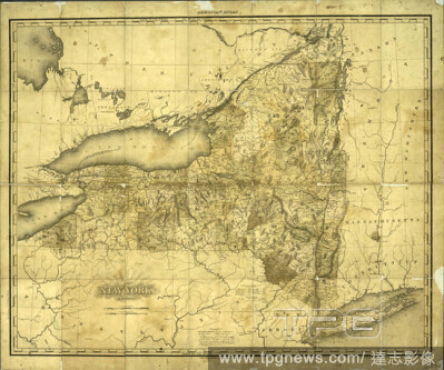
Editorial New York, cartographic, Maps, 1819, Tanner, Henry Schenck, 1786-1858.
- 2021-04-07
- 4

Editorial Map of Jackson Park , cartographic, Maps, 1893, Heinze, Hermann.
- 2021-04-07
- 3

Editorial Map of Boston and vicinity, cartographic, Maps, 1898, Boston Elevated Railway Company.
- 2021-04-07
- 4
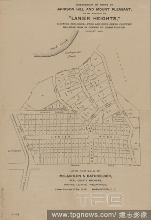
Editorial Sub-division of parts of Jackson Hill and Mount Pleasant, to be known as 'Lanier Heights', cartographic, Maps, 1890.
- 2021-04-07
- 7
Editorial Samuel Ellis between Washington and the next, Vesey and Barclay, cartographic, Maps, 1795.
- 2021-04-07
- 5
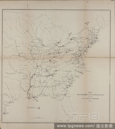
Editorial Map illustrating the operations of the U.S. Sanitary Commission, cartographic, Maps, 1864, United States Sanitary Commission, Krebs, Charles G., Lindenkohl, H. (Henry).
- 2021-04-07
- 2

Editorial Sheridan Village; Sheridan Business Directory; Sheridan Township, cartographic, Atlases, 1867.
- 2021-04-07
- 4

Editorial Duke and Mill Streets, cartographic, Maps, 1772.
- 2021-04-07
- 3
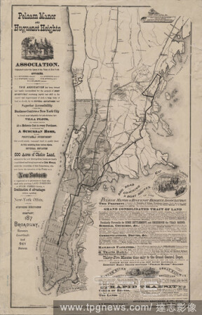
Editorial Map showing location of lands of the Pelham Manor & Huguenot Heights Association and their railroad communications with New York City., cartographic, Maps, 1874.
- 2021-04-07
- 6
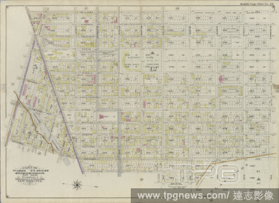
Editorial Double Page Plate No. 20: Bounded by Williams Avenue, Riverdale Avenue, Rockaway Avenue, Hunter Fly Road, Bristol Street, Sutter Avenue, Chester Street, East New York Parkway, Rockaway Avenue and Atlantic Avenue., cartographic, Maps, 1898, Ullitz, Hugo.
- 2021-04-07
- 3
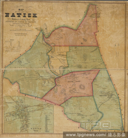
Editorial Map of the town of Natick, Middlesex County, Mass., cartographic, Maps, 1853, Walling, Henry Francis, 1825-1888, Friend & Aub.
- 2021-04-07
- 1

Editorial Map, cartographic, Documents, 1885.
- 2021-04-07
- 3

Editorial Topographical map, United States and territories, cartographic, Maps, 1876, Dripps, M. (Matthew), Ed. W. Welcke & Bro.
- 2021-04-07
- 6
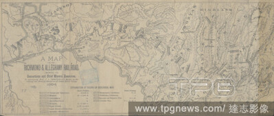
Editorial A map of the Richmond & Alleghany Railroad , cartographic, Maps, 1884, Campbell, J. L. (John Lyle), 1818-1886.
- 2021-04-07
- 3
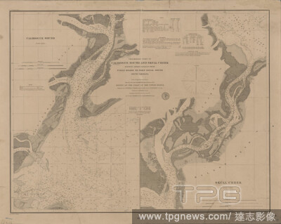
Editorial Preliminary chart of Calibogue Sound and Skull Creek , cartographic, Maps, 1879, Bache, A. D. (Alexander Dallas), 1806-1867, Boutelle, C. O. (Charles Otis), Bolles, C. P., Ord, Edward Otho Cresap, 1818-1883, Van Buren, D. T., Rockwell, Cleveland, 1837-...
- 2021-04-07
- 5
Editorial Post route map of the states of Pennsylvania, New Jersey, Delaware and Maryland and of the District of Columbia, with adjacent parts of New York, Ohio, Virginia and West Virginia, cartographic, Maps, 1874, Nicholson, W. L., McClelland, D.
- 2021-04-07
- 1
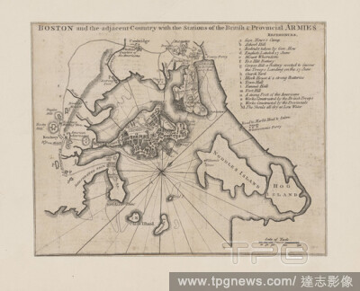
Editorial Boston and the adjacent country with the stations of the British & provincial armies, cartographic, Maps, 1775.
- 2021-04-07
- 4

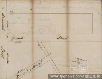
Editorial Plate 19: Map bounded by Rivington Street, East Street, Grand Street, Columbia Street, cartographic, Maps, 1852, Perris, William.
- 2021-04-07
- 2
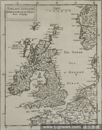
Editorial England, Scotland & Ireland, with the iles thereto belonging., cartographic, Maps, 1681, Flamsteed, John (1646-1719 ), Hanway, William, Moore, Jonas, Sir (1617-1679 ), Potenger, John, Perkins, Peter (d. 1680 ).
- 2021-04-07
- 4

Editorial Hydrographic map of the Oconomowoc-Waukesha Lake District, Waukesha Co., Wis., cartographic, Maps, 1898, Trippe, H. M.
- 2021-04-07
- 2

Editorial Map of Louisiana , cartographic, Maps, 1853, McCulloh, William J.
- 2021-04-07
- 5

Editorial Plan of the State of New York, cartographic, Atlases, 1875.
- 2021-04-07
- 3
Editorial Sketch of Mount Pitt, cartographic, Maps, 1782.
- 2021-04-07
- 1
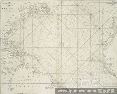
Editorial A Generall chart of the Western Ocean., cartographic, Maps, 1713.
- 2021-04-07
- 3
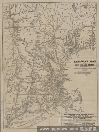
Editorial Railway map of the New England states, cartographic, Maps, 1867.
- 2021-04-07
- 2
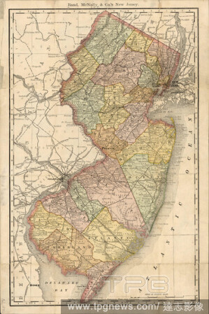
Editorial Rand, McNally & Co.'s New Jersey, cartographic, Maps, 1890.
- 2021-04-07
- 1

Editorial Entrance to Columbia River, Oregon , cartographic, Maps, 1854, United States Coast Survey, Bache, A. D. (Alexander Dallas), 1806-1867, Benham, Henry Washington, 1813-1884, Cutts, R. D. (Richard Dominicus), 1817-1883, Harrison, A. M. (Alexander Medina),...
- 2021-04-07
- 3

Editorial Plate II, cartographic, Maps, 1895, Brown, Lucinda White, 1822-1917.
- 2021-04-07
- 4

Editorial Map of the state of New York : compiled from the latest authorities., cartographic, Maps, 1850.
- 2021-04-07
- 2

Editorial Topographical map of the District of Columbia and a portion of Virginia, cartographic, Maps, 1889, United States. Army. Corps of Engineers, Raymond, Chas. W. (Charles Walker), 1842-1913, Symons, T. W. (Thomas William), 1849-1920, Julius Bien & Co.
- 2021-04-07
- 3
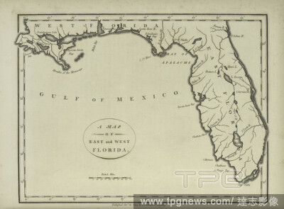
Editorial A map of the East and West Florida., cartographic, Maps, 1794, Morse, Jedidiah (1761-1826 ).
- 2021-04-07
- 1

Editorial Large scale sectional map of Southern California , cartographic, Maps, 1888.
- 2021-04-07
- 2

Editorial Piscataqua Harbour, Portsmouth, York Harbour, &c., cartographic, Maps, 1779, Des Barres, Joseph F. W. (Joseph Frederick Wallet), 1722-1824.
- 2021-04-07
- 2
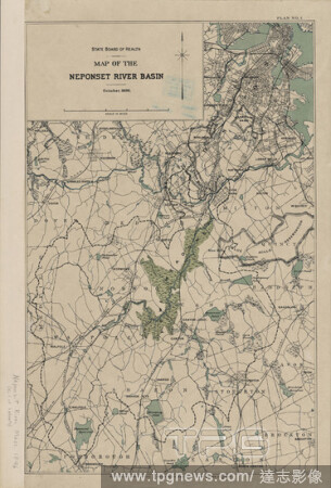
Editorial Map of the Neponset River basin, cartographic, Maps, 1896.
- 2021-04-07
- 3
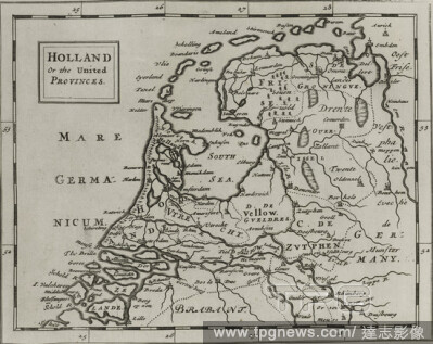
Editorial Holland or the United Provinces., cartographic, Maps, 1681, Flamsteed, John (1646-1719 ), Hanway, William, Moore, Jonas, Sir (1617-1679 ), Potenger, John, Perkins, Peter (d. 1680 ).
- 2021-04-07
- 3
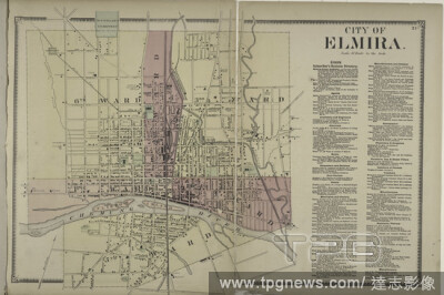
Editorial City of Elmira.; Elmira Subscriber's Business Directory, cartographic, Atlases, 1869, Beers, F. W. (Frederick W.), Sanford, G. P. (George P.).
- 2021-04-07
- 2
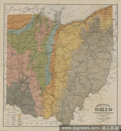
Editorial Geological map of Ohio , cartographic, Maps, 1888, Orton, Edward, 1829-1899, Newberry, J. S. (John Strong), 1822-1892, Strobridge Lithographing Company.
- 2021-04-07
- 4

Editorial Map of the city of Chicago, cartographic, Maps, 1853.
- 2021-04-07
- 2

Editorial A chorographical map of the province of New-York in North America, divided into counties, manors, patents and townships : exhibiting likewise all the private grants of land made and located in that Province, cartographic, Maps, 1779, Faden, William (17...
- 2021-04-07
- 2

Editorial Topographical map of the District of Columbia and a portion of Virginia, cartographic, Maps, 1889, United States. Army. Corps of Engineers, Raymond, Chas. W. (Charles Walker), 1842-1913, Symons, T. W. (Thomas William), 1849-1920, Julius Bien & Co.
- 2021-04-07
- 1

Editorial Blanchard's map of Cook and DuPage Counties, 1871 , cartographic, Maps, 1871, Blanchard, Rufus, 1821-1904.
- 2021-04-07
- 3

Editorial Map of the city of New York., cartographic, Maps, 1869.
- 2021-04-07
- 1
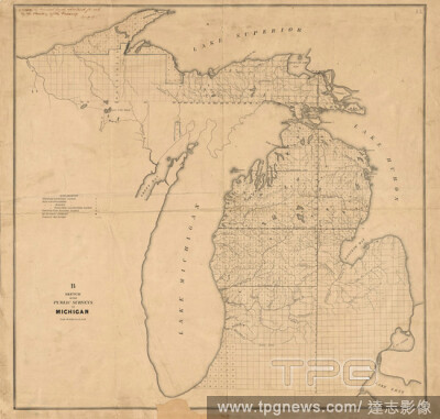
Editorial Sketch of the public surveys in Michigan, cartographic, Maps, 1840 - 1849, United States. Surveyor General of Ohio, Indiana and Michigan.
- 2021-04-07
- 2
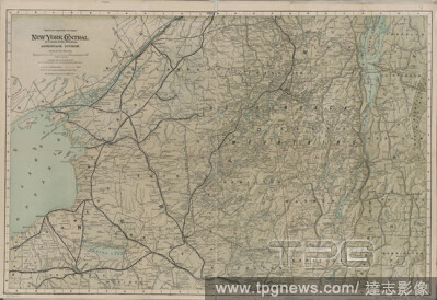
Editorial New York Central & Hudson River Railroad, Adirondack Division, cartographic, Maps, 1895.
- 2021-04-07
- 2
Editorial Plate 29: Bounded by Court Street, President Street, Fourth Avenue, Prospect Avenue, Hamilton Avenue and Lorraine., cartographic, Maps, 1886, Robinson, E. (Elisha), Pidgeon, R. H. (Roger H.).
- 2021-04-07
- 1
Editorial A map of South Carolina and a part of Georgia, containing the whole sea-coast : all the islands, inlets, rivers, creeks, parishes, townships, boroughs, roads, and bridges , cartographic, Maps, 1780-06-01, Sackville, George Germain, Viscount, 1716-1785,...
- 2021-04-07
- 3

Editorial Topographical map of the District of Columbia and a portion of Virginia, cartographic, Maps, 1889, United States. Army. Corps of Engineers, Raymond, Chas. W. (Charles Walker), 1842-1913, Symons, T. W. (Thomas William), 1849-1920, Julius Bien & Co.
- 2021-04-07
- 2
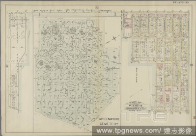
Editorial Plate 35: Bounded by Fifth Avenue, Prospect Avenue, Ninth Avenue, Gravesend Avenue, Fort Hamilton Avenue and Thirty-eighth Street. (Includes the Plan of Greenwood Cemetery.), cartographic, Maps, 1886, Robinson, E. (Elisha), Pidgeon, R. H. (Roger H.).
- 2021-04-07
- 2
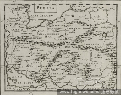
Editorial Persia., cartographic, Maps, 1681, Flamsteed, John (1646-1719 ), Hanway, William, Moore, Jonas, Sir (1617-1679 ), Potenger, John, Perkins, Peter (d. 1680 ).
- 2021-04-07
- 4
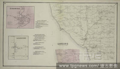
Editorial Ludlowville Village; Ludlowville Business Directory; Lansingville Village; North Lansing Business Directory; East Lansing Business Directory; Forest City Business Directory; Lake Ridge Business Directory; Lansingville Business Directory; Lansing Townsh...
- 2021-04-07
- 5
Editorial Map of Essex & part of Middlesex counties, showing the rail road routes between Salem, Lowell, Boston & Lawrence, cartographic, Maps, 1848, Sharp & Peirce.
- 2021-04-07
- 5

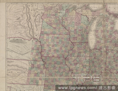
Editorial Map of Kansas and western Missouri , cartographic, Maps, 1884, G.W. & C.B. Colton & Co., G.W. & C.B. Colton & Co.
- 2021-04-07
- 2

Editorial Cours de la rivi?re d'Hudson et la c?munication avec le Canada par le Lac Champlain jusqu'au Fort Chambly, cartographic, Maps, 1777, Sauthier, Claude Joseph, Jefferys, Thomas, d. 1771.
- 2021-04-07
- 2

Editorial A new map of ancient Scandinavia, together with as much more of ye northern part of ancient Europe as answers to present Denmark & Moscovia., cartographic, Maps, 1700, Wells, Edward (1667-1727 ).
- 2021-04-07
- 3

Editorial Map of the country about Boston, cartographic, Maps, 1890, Geo. S. Harris & Sons.
- 2021-04-07
- 1

Editorial Charleston harbour, S. Ca. , cartographic, Maps, 1885, Hooker, William, 1782-1856, Bache, Hartman, 1797-1872, United States. Topographical Bureau.
- 2021-04-07
- 3
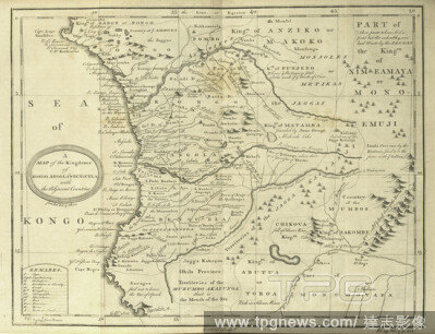
Editorial A map of the Kingdoms of Kongo, Angola, & Benguela with the adjacent countries, cartographic, Prints, 1745 - 1747.
- 2021-04-07
- 2
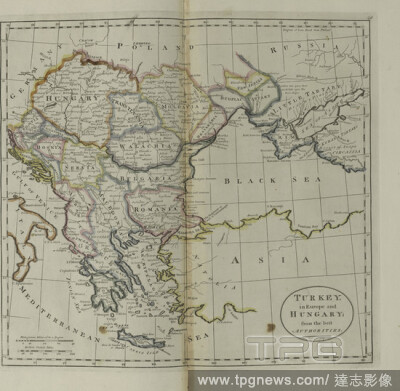
Editorial Turkey, in Europe and Hungary, from the best authorities, cartographic, Maps, 1814.
- 2021-04-07
- 2

Editorial A new map of part of the United States of North America : containing those of New York, Vermont, New Hampshire, Massachusets, Connecticut, Rhode Island, Pennsylvania, New Jersey, Delaware, Maryland and Virginia from the latest authorities, cartographic...
- 2021-04-07
- 5
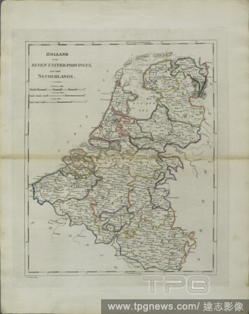
Editorial Holland or the Seven United Provinces, and the Netherlands, cartographic, Maps, 1814, Lewis, Samuel, 1753 or 4-1822.
- 2021-04-07
- 1

Editorial Map of the city of Albany, cartographic, Maps, 1871.
- 2021-04-07
- 1
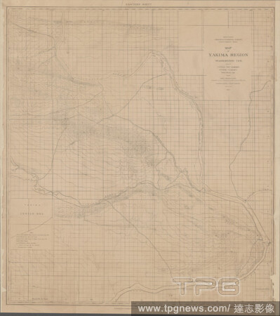
Editorial Map of Yakima Region, Washington Ter. , cartographic, Maps, 1882, Pumpelly, Raphael, 1837-1923, Wilson, A. D., Goode, Richard Urquhart, 1858-1903, Tweedy, Frank, 1854-1937, Julius Bien & Co., Northern Transcontinental Survey.
- 2021-04-07
- 4
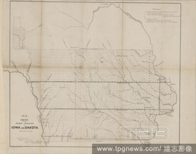
Editorial Sketch of the public surveys in Iowa and Dakota, cartographic, Maps, 1860, United States. Surveyor General of Wisconsin and Iowa, Bien, Julius, 1826-1909, Lewis, Warner, 1805-1888.
- 2021-04-07
- 4
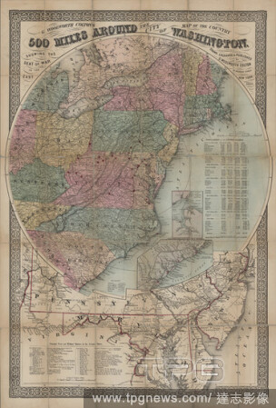
Editorial G. Woolworth Colton's 500 miles around the city of Washington, cartographic, Maps, 1862, Colton, G. Woolworth (George Woolworth), 1827-1901.
- 2021-04-07
- 2
Editorial A map of the British Empire in America , cartographic, Maps, 1750, Popple, Henry, d. 1743, Condet, Johannes, 1711-1781.
- 2021-04-07
- 4
Editorial Topographical atlas of the city of New York, including the annexed territory showing original water courses and made land, cartographic, Maps, 1874, Viele, Egbert L. (Egbert Ludovicus), 1825-1902.
- 2021-04-07
- 1

Editorial North and South Carolina, cartographic, Maps, 1834.
- 2021-04-07
- 2
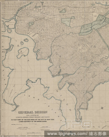
Editorial General Design for a system of streets, avenues . In that part of the 24th ward . Lying easterly of the Bronx River., cartographic, Maps, 1897.
- 2021-04-07
- 1
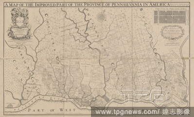
Editorial Fac simile of Holmes' map of the province of Pennsylvania, cartographic, Maps, 1870, Holme, Thomas, -1695, Worley & Bracher.
- 2021-04-07
- 5

Editorial A new map of Carolina , cartographic, Maps, 1695, Lea, Philip, active 1683-1700.
- 2021-04-07
- 4
Editorial Lloyd's new map of the United States, the Canadas and New Brunswick, cartographic, Maps, 1862, Lloyd, James T., United States Coast Survey.
- 2021-02-22
- 4
 Loading