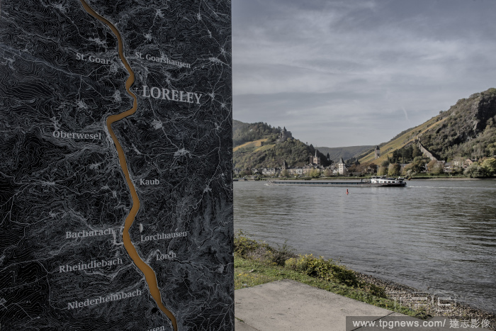
EditorialA tanker ship transports liquid gas past the village of Bacharach, Germany, and a display on the opposite bank mapping the Rhine River and surrounding topography in the area, Oct. 28, 2022. (Laetitia Vancon/The New York Times)
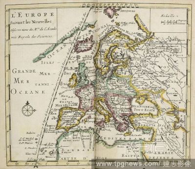
EditorialMap of L'Europe, Suviant Les Novelles Observations, new observations and information about mapping. . Atlas Portatif et Nouveau du Voyageur. Amsterdam. Published between 1695-1700. Atlas Portatif et Nouveau du Voyageur. Tome 1. Qui contient, le Monde, ...
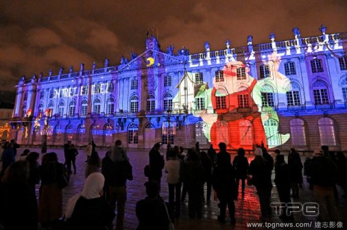
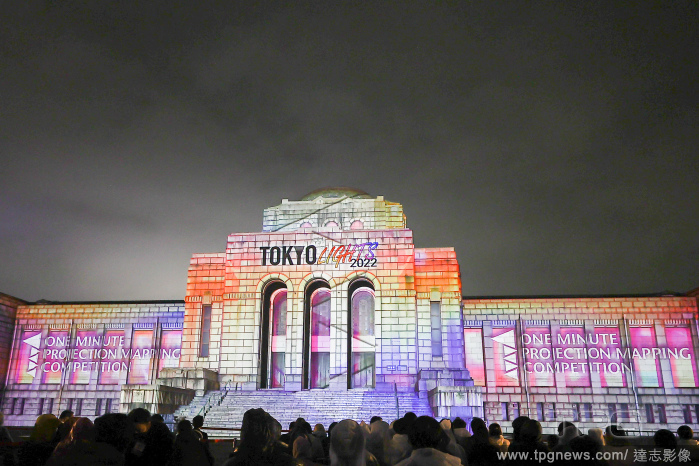
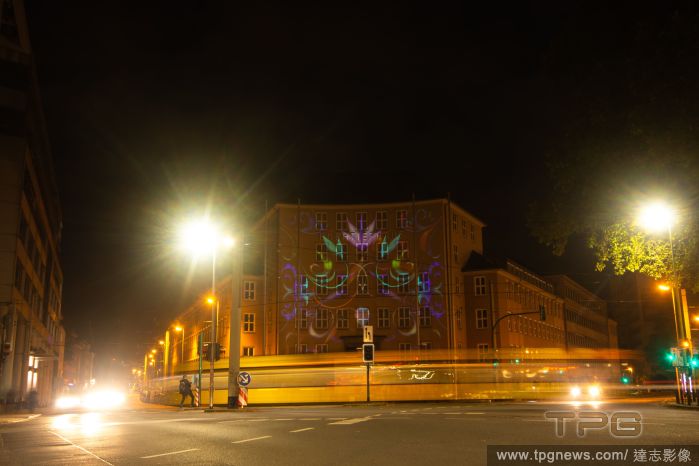
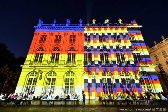
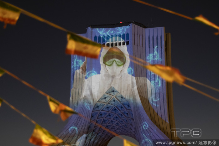
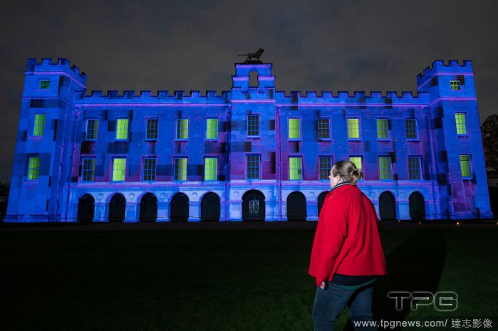
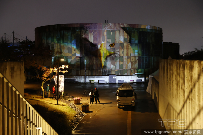
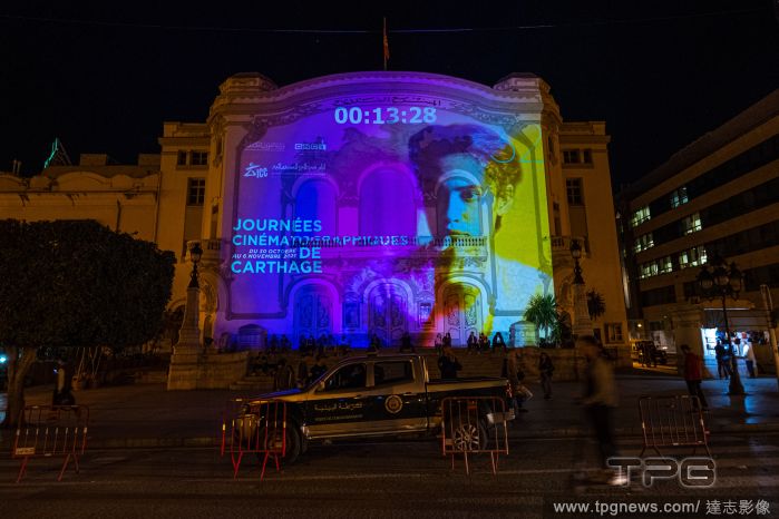
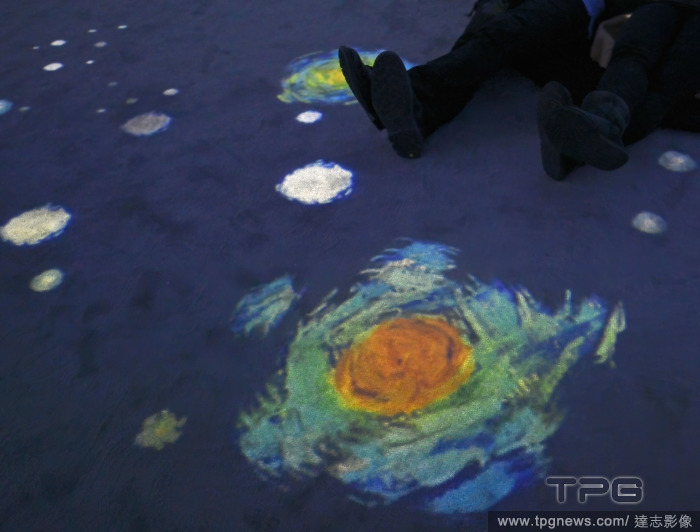
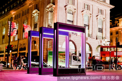
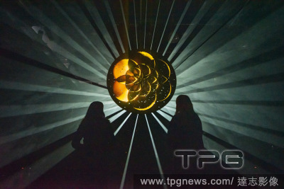
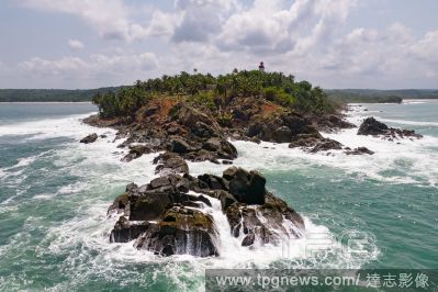
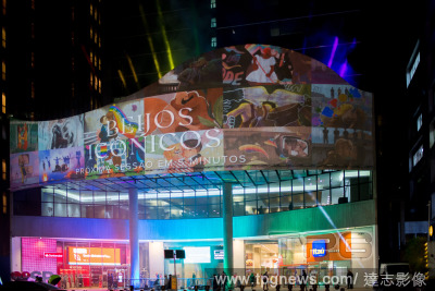
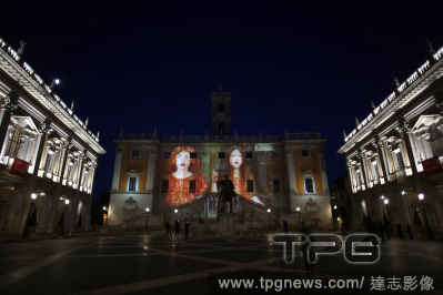
EditorialThe Inside Out festival continues this October with a series of outdoor art, sculpture and illuminated installations to surprise and delight visitors on the streets of Westminster this autumn.
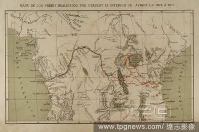
EditorialExploration and mapping of the Congo River (1874-1877). Henry Morton Stanley. He traveled central Africa exploring Lake Victoria and Lake Tanganyka navigating the Congo River. Africa inexplorada, el Continente Misterioso by Henry Morton Stanley, c. 1887.
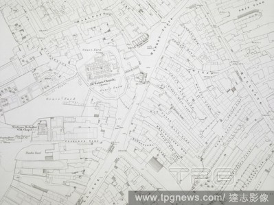
EditorialThe engraving of 1:1056 scale mapping was authorised in December 1846, and Wigan was the first town to be completed in 1848 . Ordnance Survey of Wigan 5 feet to a mile. Southampton, 1848. Source: Maps O.S.T.(100.), sheet 5. Language: English.
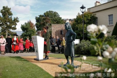
EditorialA life size statue of Henrietta Lacks, a black American woman whose cells contributed to the advancement of modern medicine, was unveiled at the University of Bristol.
EditorialDr. Harsha Rajashekharaiah, the senior project coordinator for the COVID-19 response team in Suffolk County, N.Y., in Washington on July 31, 2021. (Kenny Holston/The New York Times)


 Loading