
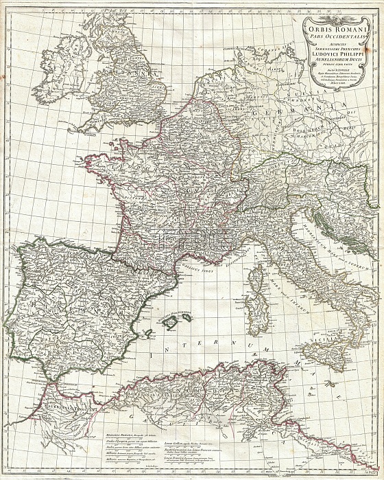
1763, Anville Map of the Western Roman Empire, including Italy
| px | px | dpi | = | cm | x | cm | = | MB |
Details
Creative#:
TOP29782195
Source:
達志影像
Authorization Type:
RM
Release Information:
須由TPG 完整授權
Model Release:
Not Available
Property Release:
Not Available
Right to Privacy:
No
Same folder images:
1763AnvilleMapoftheWesternRomanEmpireincludingItalytopographycartographygeographylandillustrationgeographictraveltopochartgridlatitudelongitudegeometricatlasmapvintageancienthistoryworldpaperoldretroeartharthistoricaldecorativenavigationagedhistoricjourneydiscoveryexplorationgeographicalMappamundispaceregionoldmapantiquemaprareoldmapsoldantiqueplanolsantiquemapoldantiqueview
1763AnvilleEmpireItalyMapMappaRomanWesternagedancientantiqueantiqueantiqueantiqueartatlascartographychartdecorativediscoveryearthexplorationgeographicgeographicalgeographygeometricgridhistorichistoricalhistoryillustrationincludingjourneylandlatitudelongitudemapmapmapmapmapsmundinavigationofoldoldoldoldoldolspaperplanrareregionretrospacethetopotopographytravelviewvintageworld
 Loading