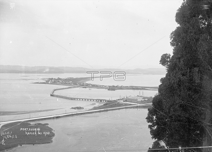
Port Ahuriri, Napier, View of Port Ahuriri showing houses in the distance, breakwaters and wharves and the lagoon area which was later filled by the shifting of the ground during the Napier earthquake of 1931
| px | px | dpi | = | cm | x | cm | = | MB |
Details
Creative#:
TOP29337286
Source:
達志影像
Authorization Type:
RM
Release Information:
須由TPG 完整授權
Model Release:
Not Available
Property Release:
Not Available
Right to Privacy:
No
Same folder images:

 Loading