
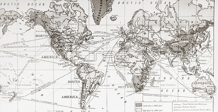
Physical map of the world, showing the principal trade routes in the 1930's. The Antarctic and part of the Arctic Regions are omitted. From a contemporary print c.1935.
| px | px | dpi | = | cm | x | cm | = | MB |
Details
Creative#:
TOP29333417
Source:
達志影像
Authorization Type:
RM
Release Information:
須由TPG 完整授權
Model Release:
No
Property Release:
No
Right to Privacy:
No
Same folder images:
 Loading