
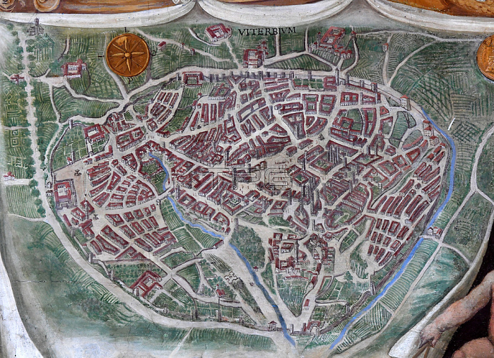
16th century painted map of the city of Viterbo (Viterbe)(Central Italy) in the Gallery of Geographical Maps (Galleria delle carte geografiche; galerie des cartes g閛graphiques).The Gallery of Geographical Maps is 120 m long and was commissioned in 1581 by Pope Gregory XIII. Thus it was that 40 geographical maps were painted along the walls representing the italian regions and the principal ports and cities.Vatican Museums (Gallery of Geographical Maps). 2021.
| px | px | dpi | = | cm | x | cm | = | MB |
Details
Creative#:
TOP28490337
Source:
達志影像
Authorization Type:
RM
Release Information:
須由TPG 完整授權
Model Release:
No
Property Release:
No
Right to Privacy:
No
Same folder images:
 Loading