
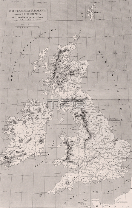
2657640 Map of Roman Britain with Ireland and adjacent islands, map originally published in London, 1818 (engraving) by English School, (19th century); Private Collection.
| px | px | dpi | = | cm | x | cm | = | MB |
Details
Creative#:
TOP27457771
Source:
達志影像
Authorization Type:
RM
Release Information:
須由TPG 完整授權
Model Release:
No
Property Release:
No
Right to Privacy:
No
Same folder images:
 Loading