
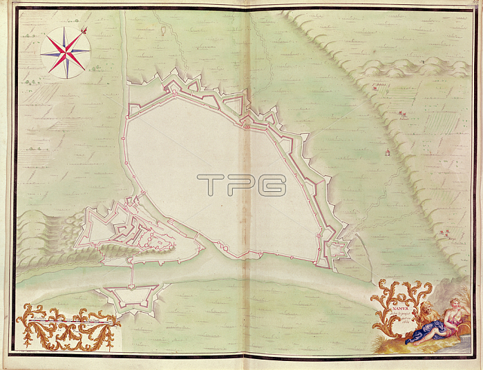
XIR271729 Namur, from \'Atlas de Louis XIV. Plans des places etrangeres\', 1665 (pen, ink & wash) by French School, (17th century); Bibliotheque du Genie, Paris, France; (add.info.: Atlas of foreign places made for the French king, Louis XIV (1638-1715);); French, out of copyright.
| px | px | dpi | = | cm | x | cm | = | MB |
Details
Creative#:
TOP26978275
Source:
達志影像
Authorization Type:
RM
Release Information:
須由TPG 完整授權
Model Release:
No
Property Release:
No
Right to Privacy:
No
Same folder images:
 Loading