
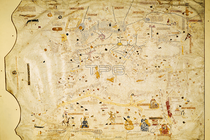
XIR55750 Map of Charles V, Map of Mecia de Viladestes, a portulan of Europe and North Africa, 1413 (vellum) by Spanish School, (15th century); Bibliotheque Nationale, Paris, France; (add.info.: Atlas of Charles V; Map of Mecia de Viladestes; for detail see 69383;); Spanish, out of copyright.
| px | px | dpi | = | cm | x | cm | = | MB |
Details
Creative#:
TOP26851101
Source:
達志影像
Authorization Type:
RM
Release Information:
須由TPG 完整授權
Model Release:
No
Property Release:
No
Right to Privacy:
No
Same folder images:
 Loading