
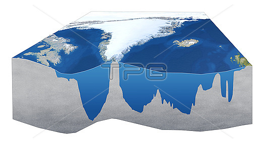
OSNAP ocean currents observing system, illustration. OSNAP (the Overturning in the Subpolar North Atlantic Program) uses a variety of devices to measure temperature, salinity and other data. This version of the illustration shows the profile of the seabed where the measurements take place. The profile shown here crosses the Atlantic through southern Greenland. This is a key area where surface and deep water ocean currents form the Atlantic meridional overturning circulation (AMOC), part of the wider global thermohaline circulation. Observations by OSNAP allows studies of the effect of disruption of these ocean currents on the climate. The OSNAP arrays are: the 53-degree North Array, the West and East Greenland Arrays, the Mid-Atlantic Ridge Array, and the Eastern Boundary Array. OSNAP has been fully deployed since 2014. For a series of illustrations of OSNAP arrays and ocean currents, see images C047/4548 to C047/4553.
| px | px | dpi | = | cm | x | cm | = | MB |
Details
Creative#:
TOP26514961
Source:
達志影像
Authorization Type:
RM
Release Information:
須由TPG 完整授權
Model Release:
N/A
Property Release:
N/A
Right to Privacy:
No
Same folder images:
 Loading