
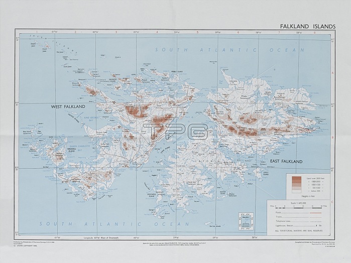
Directorate of Overseas Surveys map of the Falklands Islands, 1983 (c). One of four maps of the Falkland Islands, 1982 (c)-1984 (c). Associated with the South Atlantic (Falklands War), (1982)
| px | px | dpi | = | cm | x | cm | = | MB |
Details
Creative#:
TOP23968872
Source:
達志影像
Authorization Type:
RM
Release Information:
須由TPG 完整授權
Model Release:
No
Property Release:
No
Right to Privacy:
No
Same folder images:
 Loading