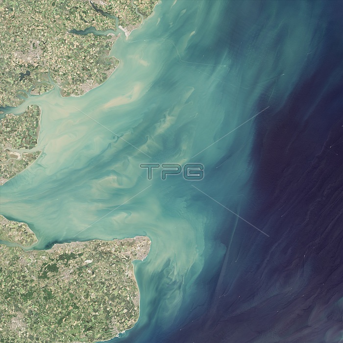
Wind farms in the mouth of the Thames, acquired on June 30, 2015, with the Operational Land Imager (OLI) on the Landsat 8 satellite. The London Array, in the center of the swirling sediments, spans 100 square kilometers (40 square miles). To the south of that is Thanet, at a slightly smaller 35 square kilometers (14 square miles). Both are in water 20 to 25 meters deep. A detailed view reveals light-brown plumes of suspended sediments extending from each tower. The direction of the plumes changes with the tidal currents. It is unclear how these changes in sediment transport might affect the underwater environment, which is known to be an important fish nursery.
| px | px | dpi | = | cm | x | cm | = | MB |
Details
Creative#:
TOP22096297
Source:
達志影像
Authorization Type:
RM
Release Information:
須由TPG 完整授權
Model Release:
N/A
Property Release:
No
Right to Privacy:
No
Same folder images:

 Loading