
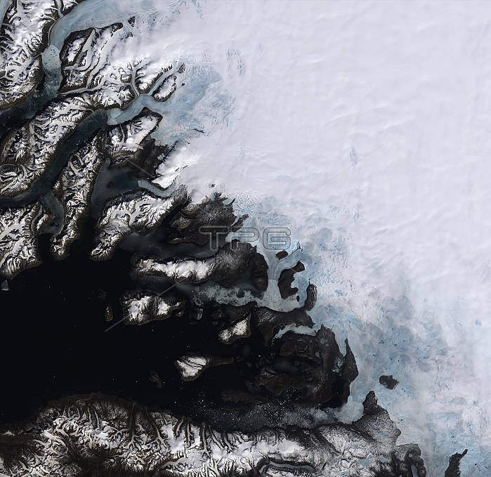
On the southwestern coast of Greenland, multiple ice streams that drain the Greenland ice sheet are pictured in this satellite image. Covering more than 2,000,000 sq km, Greenland is the world's largest island and home to the second largest ice sheet after Antarctica. Scientists using data from Earth-observing satellites have discovered that the rate of ice sheet melting is increasing. Between 1992 and 2012, Greenland was responsible for adding about 7 mm to the average global sea level. Many areas in Greenland, especially along the coast, are losing up to one meter of ice thickness per year. Melting ice sheets caused by rising temperatures and the subsequent rising of sea levels is a devastating consequence of climate change, especially for low-lying coastal areas. In addition, the increased influx of freshwater into oceans affects the salinity, which in turn impacts the global ocean currents that are a major player in the regulating of our climate. In the lower part of the image, we can see icebergs speckling the waters of a fjord, with the mountainous Nuussuaq Peninsula visible along the bottom of the image.
| px | px | dpi | = | cm | x | cm | = | MB |
Details
Creative#:
TOP22092601
Source:
達志影像
Authorization Type:
RM
Release Information:
須由TPG 完整授權
Model Release:
No
Property Release:
No
Right to Privacy:
No
Same folder images:
 Loading