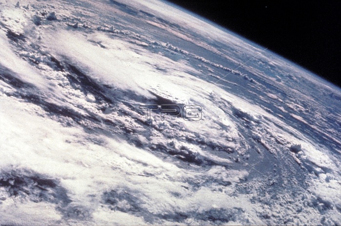
Hurricane Gladys, Gulf of Mexico, as seen from the Apollo 7 spacecraft during its 91st revolution of the earth. Photographed from an altitude of 99 nautical miles, at ground elapsed time of 144 hours and 27 minutes. Hurricane Gladys was the farthest tropical cyclone from the United States to be observed by radar in the Atlantic basin since Hurricane Carla in 1961. The seventh named storm and fifth hurricane of the 1975 Atlantic hurricane season, Gladys developed from a tropical wave while several hundred miles southwest of Cape Verde on September 22. Initially, the tropical depression failed to strengthened significantly, but due to warm sea surface temperatures and low wind shear, it became Tropical Storm Gladys by September 24. Despite entering a more unfavorable environment several hundred miles east of the northern Leeward Islands, Gladys became a Category 1 hurricane on the Saffir-Simpson hurricane wind scaleon September 28. Shortly thereafter, the storm reentered an area favorable for strengthening. Eventually, a well-defined eye became visible on satellite imagery.
| px | px | dpi | = | cm | x | cm | = | MB |
Details
Creative#:
TOP22080292
Source:
達志影像
Authorization Type:
RM
Release Information:
須由TPG 完整授權
Model Release:
No
Property Release:
No
Right to Privacy:
No
Same folder images:

 Loading