
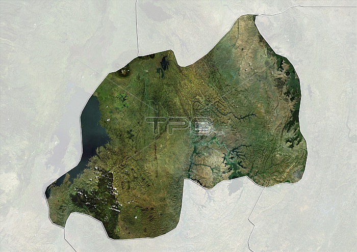
Satellite view of Rwanda (with country boundaries and mask). This image was compiled from data acquired by Landsat satellites.
| px | px | dpi | = | cm | x | cm | = | MB |
Details
Creative#:
TOP21177308
Source:
達志影像
Authorization Type:
RM
Release Information:
須由TPG 完整授權
Model Release:
No
Property Release:
No
Right to Privacy:
No
Same folder images:
 Loading