
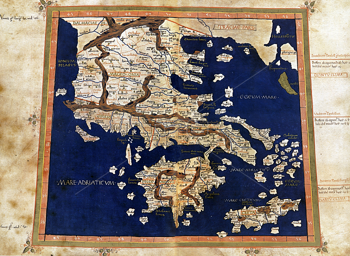
MAPPING "Europe Tabula tenth." Macedonia; the Greek peninsula; Crete and islands of the Adriatic and Aegean in Table I by the "Cosmographia" by Ptolemy (second century). This code is translated by Jacopo Angelo is one of the most cared for; from the point of view of graphics and miniatures of the fifteenth century.
| px | px | dpi | = | cm | x | cm | = | MB |
Details
Creative#:
TOP19286329
Source:
達志影像
Authorization Type:
RM
Release Information:
須由TPG 完整授權
Model Release:
No
Property Release:
No
Right to Privacy:
No
Same folder images:
 Loading