
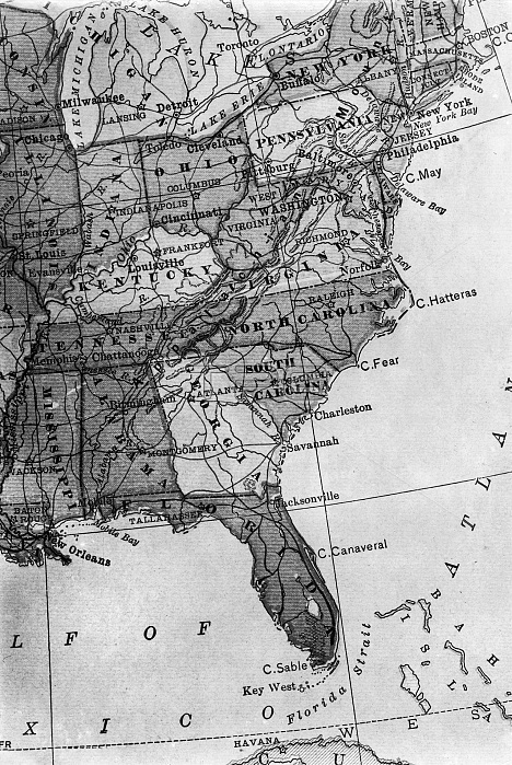
GULF COAST MAP, 1913. /nA map showing the location of the Oyster and Shrimp canneries of the Gulf and South Atlantic Coast of America. Photograph of the map by Lewis Hine, 1913.
| px | px | dpi | = | cm | x | cm | = | MB |
Details
Creative#:
TOP16144835
Source:
達志影像
Authorization Type:
RM
Release Information:
須由TPG 完整授權
Model Release:
No
Property Release:
No
Right to Privacy:
No
Same folder images:
 Loading