
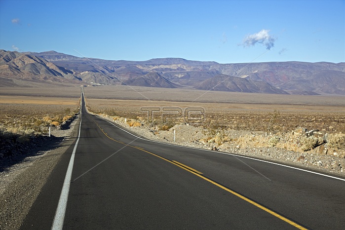
California state highway, Death Valley National Park, California, USA. This view looks east as California State Route 190 crosses a deserted Panamint Valley towards the Panamint Mountains. Panamint Valley and Death Valley are the two main valleys in the National Park, with the Panamint Mountains separating them. Death Valley, descending to 86 metres below sea level, is about 220 kilometres long and 25 kilometres wide. It has a hot arid climate, and temperatures can exceed 50 degrees Celsius. Photographed in January.
| px | px | dpi | = | cm | x | cm | = | MB |
Details
Creative#:
TOP13833475
Source:
達志影像
Authorization Type:
RM
Release Information:
須由TPG 完整授權
Model Release:
N/A
Property Release:
No
Right to Privacy:
No
Same folder images:
201321stcenturyamericaamericanaridcaliforniacaliforniastateroute190desertdeserteddryemptyenvironmentheathighwayholidayhotjanuarylandscapelowlowestmojavedesertmountainrangenationalparknationalparkservicenatureno-onenobodynorthamericanorthamericanopenroadpanamintmountainspanamintvalleyphysicalgeographyroadtourismtouristattractiontransportationtravelunitedstatesususavacationvalley
190201321stamericaamericaamericanamericanaridattractioncaliforniacaliforniacenturydesertdesertdeserteddryemptyenvironmentgeographyheathighwayholidayhotjanuarylandscapelowlowestmojavemountainmountainsnationalnationalnatureno-onenobodynorthnorthopenpanamintpanamintparkparkphysicalrangeroadroadrouteservicestatestatestourismtouristtransportationtravelunitedususavacationvalleyvalley
 Loading