
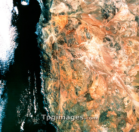
Atacama Desert. Satellite view of the Atacama Desert in Chile, South America. This is the driest place on Earth, having had no measurable rain for four centuries until 1971. The pale areas in the desert are the remains of nitrate mines which flourished, briefly, in recent times. Running vertically near the centre of the frame is the Atacama Fault, one of the many fault systems along the west coast of the continent. The bay at top left is the location of the port of Antofagasta. The Pacific Ocean is at left. The data for this image were gathered by a Landsat satellite.
| px | px | dpi | = | cm | x | cm | = | MB |
Details
Creative#:
TOP03208644
Source:
達志影像
Authorization Type:
RM
Release Information:
須由TPG 完整授權
Model Release:
N/A
Property Release:
N/A
Right to Privacy:
No
Same folder images:
 Loading